 |
| Curley Peak |
 |
| Pikes Peak |
 |
| Ken |
 |
| Sangre de Cristo Mountains |
 |
| Tanner Peak on the left a few miles away. Pikes Peak on the right in the distance. |
 |
| Me and Ken |
 |
| Curley Peak |
|
| Curley Peak |
|
| Pikes Peak |
|
| Ken |
|
| Sangre de Cristo Mountains |
|
| Tanner Peak on the left a few miles away. Pikes Peak on the right in the distance. |
|
| Me and Ken |
|
| Curley Peak |
 |
| Arkansas River |
 |
| Royal Gorge |
 |
| Cheyenne Mountain |
 |
| Looking towards Fort Carson |
 |
| Looking towards the Wet Mountains |
 |
| View of Cliffs |
 |
| Tree Antler |
 |
| Arkansas River |
 |
| Royal Gorge Bridge |
 |
| Nonans Peak (on the left beyond the cliffs) |
 |
| Arkansas River |
 |
| Sangre de Cristo Mountains on the horizon |
 |
| Fremont Peak on the right |
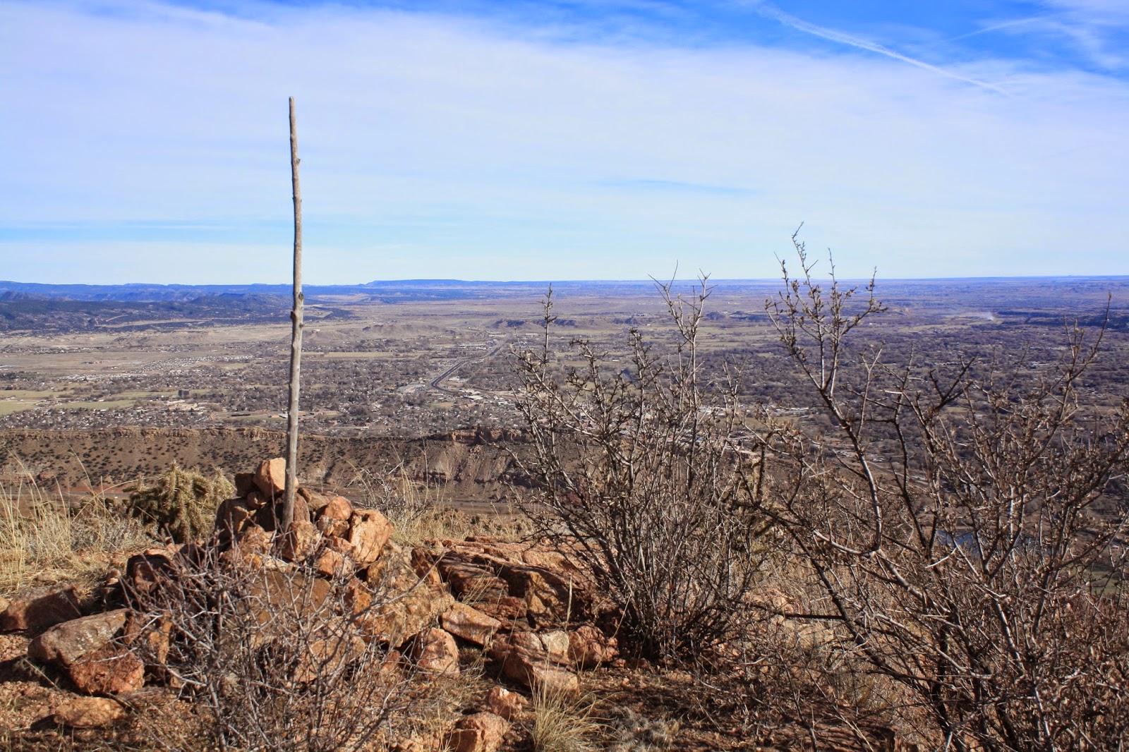 |
| Top of Nonans Peak with Cañon City below |
 |
| Pikes Peak on the right |
 |
| Royal Gorge |


 |
| Carter is up front for this one and the following pictures |


 |
| View of Antora Peak after reaching the ridgeline |
 |
| The route up Mt. Ouray |
 |
| Jim on top of Mt. Ouray |
 |
| Jim on top of Mt Ouray. Antora Peak on the left |
 |
| Brothers |
 |
| Nap time. Salida in the valley below |
 |
| Looking towards Monarch Pass |
 |
| Me |
 |
| The Eye |
 |
| Looking back at the route up Mt Ouray |
 |
| Carter, Jim, Stacy, & Cara along the Continental Divide |
 |
| Cottonwood Pass |
 |
| Jim |
 |
| The Three Apostles & Huron Peak on the left. Missouri Mountain & Mt. Belford are visible on the right. |
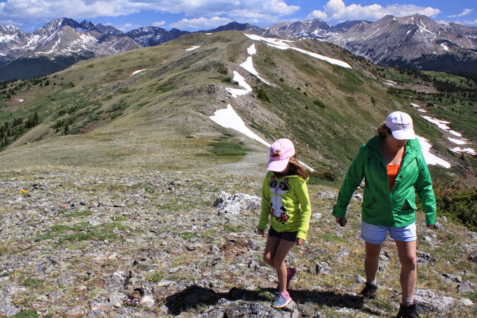 |
| Cara & Stacy |
 |
| Cara putting a rock on top of the small unnamed peak |
 |
| Looking down at the lake at Cottonwood Pass |
 |
| Cara, Jim, & Carter |
 |
| Time to throw snowballs at Carter |
 |
| Sunflowers & The Three Apostles plus Huron Peak |
 |
| Stacy & Cara (Mt. Yale on the left) |

