Sunday, December 18, 2016

Rogue One

It started snowing Friday night and snowed well into Saturday. It was cold so I hung out at the house.
Backyard Buck
Buck leaving
It got even colder over night.
Chilly in the early morning hours
The Sun was out on Sunday. So I celebrated Carter's Birthday by going to see the new Star Wars Story. So I had a good day. Hopefully, Carter had a great birthday...

Saturday, November 26, 2016

Holiday

My Thanksgiving Hike this year took me to the top of Curley Peak. (9,660 ft.) It was a beautiful hike in the Wet Mountains. I had views of the Sangre de Cristo Mountains and Pikes Peak. I didn’t see a soul on the hike; however, I did see some turkeys at the start of the hike that managed to escape being cooked and carved. I hope everyone had a wonderful Thanksgiving. -MM
On top of Curley Peak with the Sangre de Cristo Mountains behind me.
Pikes Peak behind me from the top of Curley Peak
Sangre de Cristo Mountains
Looking back on the trail.

Sunday, October 30, 2016

South Side of the Sky

The following took place on October 8, 2016. It was 7 A.M. on a Saturday Morning. The air was cool but comfortable. I was by myself at Cordova Pass in southern Colorado. My destination this morning was West Spanish Peak at an elevation of 13,626 Feet. The Spanish Peaks have been on my list of places to explore since I moved to Colorado. I finally made it down here, and it did not disappoint. I used to think the Spanish Peaks were extinct volcanos; however, when I researched it I discovered that they are actually igneous stocks similar to Devils Tower. The first half of the hike was relatively easy. The trail basically followed a ridge for the first half of the hike.
West Spanish Peak
Looking north as I approach tree line
The rock cairn at tree line.  The lesser seen Sangre de Cristo Mountains of southern Colorado.
The second half of the trail starts at tree line. The trail essentially goes straight up the talus and scree filled slopes of a classic cone shaped mountain. The only thing keeping me company was the occasional pika chirps. The steepness of the trail ended when I crested the false summit. The view from the false summit was pretty amazing.
The way up
Getting closer to the false summit
The view from the false summit.  La Veta and the Great Dikes of the Spanish Peaks below.
From the false summit, it was an easy walk to the actual summit. I spent quite a bit of time on top. The weather was nice. It was windy enough that you had to wear a wind breaker, but it wasn’t blowing you off the mountain. Also I was not freezing like I was on my big hikes in the previous months.
View of the summit
East Spanish Peak
View north to the Sangre de Cristo Mountains
Looking back at the summit from the east side.
Little Bear Peak, Blanca Peak, & Mt. Lindsey
The Crestones on the horizon
Me on top with the Blanca group behind me.
Me on top with East Spanish Peak behind me.
La Veta, a dike, Greenhorn Mountain, and the Great Plains
What goes up, must down. On my descent, I finally saw some people trying to hike the mountain. I’m not sure if they made it. They were struggling with the altitude big time. I arrived back at my car around 1 P.M. without issue. I thoroughly enjoyed this hike and area. With all the geological features, the Spanish Peaks should probably be in the National Park system, but there is too much private property surrounding the Peaks for that to happen. In some ways, it is nice that it isn’t in the system because it would be too popular if it was.
Igneous rock of West Spanish Peak
Interesting rocks and the rock cairn at tree line
Some Fall color

Thursday, September 22, 2016

America The Beautiful

On September 10th, I climbed another 14er. I made it up Pikes Peak (14,115 Ft.) this time. I can’t say I was that excited about hiking Pikes Peak because of its popularity. I figured I might as well do it because of its convenience. I had hoped to avoid some of the crowds by taking the non-standard northwest slope route. I started the hike on Friday the 9th from the Crags Trailhead (~10,000 Ft). I went to the trailhead after work and ate my dinner at the trailhead so I didn’t have to carry it. I then hiked a couple of miles and set up camp in a meadow (~11,200 Ft.) while the sun was setting.
Sentinel Point from my campsite
I was on the trail before 4 A.M. The dew on my tent was frozen. So it was a bit cold. The first part of the hike was quite steep. It was also quite dark. The Moon had already set. The steepness didn’t ease up until after I gained the ridge way above tree line as I approached Devils Playground. At Devils Playground, the trail crosses the Pikes Peak Toll Road. From this point, the trail essentially parallels the road to the top. The sun didn’t rise until I was just below the summit.
Sunrise
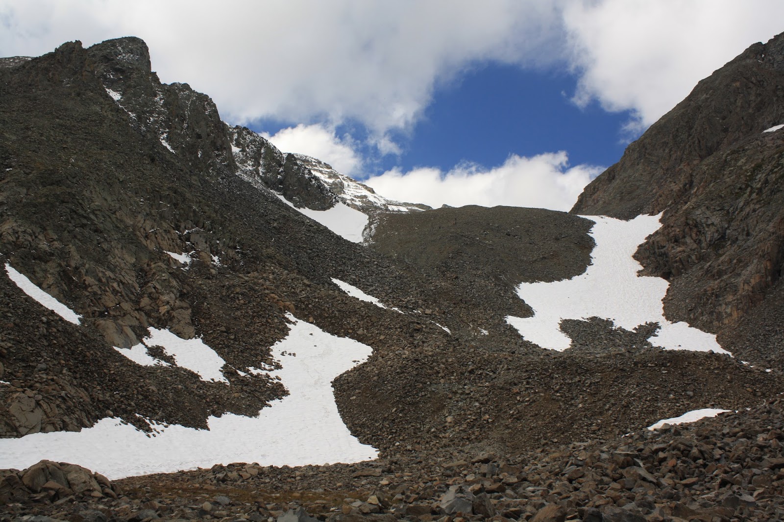
Below the summit of Pikes Peak at sunrise
Looking northwest back in the direction that I came.
The final ascent up Pikes Peaks on this route is a bit rocky and is considered a class 2 climb. I made it to the top around 7:20 in the morning. I believe I was the first hiker to make it to the top that day. There were a couple cars up there already, but they were people who worked up top. The toll road is not supposed to be open until 7:30 A.M. The first train up the mountain doesn’t leave until 8:00 A.M. So I was able to avoid the crowds up top. The top is still weird. It is surrounded by a dirt road, parking, and a few structures including a gift shop and snack bar. The top is relatively flat, so you have to walk the perimeter to enjoy the view. The view is not as grand as other 14ers. Pikes Peak is all by itself. The big, grand mountains that you expect of Colorado are actually a good distance away. One nice benefit with all junk at the top was bathrooms with electricity. The hand dryers felt so good on my frozen hands.
View from the top of the Wet Mountains and the Sangre de Cristo Mountains
Looking west while standing on the highest point
Me on top
End of the Line for the Cog Railway
Wet Mountains (left) and the Sangre de Cristo Mountains (right)
Looking southeast at Almagre Mountain
Northwest view
On the way down the mountain, there was a constant stream of people going up. I get the inevitable question of “how much further”. Some of them didn’t like that I would tell them the truth. Oh well. I got off the trail around 1 P.M. I was tired but happy to knock off another 14er.
Looking towards the Rampart Range and the Air Force Academy
Pikes Peak Toll Road and Devils Playground
View near Devils Playground
Trail at Devils Playground
Sentinel Point
My Campsite

Monday, August 29, 2016

Rocky Mountain High

On Saturday, August 27, I did something that I haven’t done in a few years. I climbed a 14er. I summited Castle Peak which has an elevation of 14,279 feet. I got on the trail early for this one. I started a little after 3:30 a.m. I had to park at the lower trailhead due to my car not being able to handle the road. So I had a starting elevation of 9,800 feet. The first part of the hike was easy because all I was doing was following a road in the dark. I made good time until I got to Montezuma Basin (12,800 ft.) The road ended there and the trail got steep. There was also the added addition of fresh snow at this elevation. It was a bit cold. I actually had to zip up my jacket while going uphill. I don’t do that often when climbing.
Dawn from Montezuma Basin
Fresh snow and start of steep climb.
Castle Peak
The final ascent of Castle Peak followed the northeast ridge to the top. The route wasn’t well marked in places. I was following tracks in the snow of a person that didn’t choose the best route. I had to back track a little to get around a hairy spot. I made it to the top after 9:00 a.m. The view at the top was incredible.
Conundrum Peak from the northeast ridge of Castle Peak
Looking back on the trail that gains the northeast ridge
The final climb to the summit of Castle Peak
Conundrum Peak before the final ascent of Castle Peak
View from the top of Castle Peak
View to the south from Castle Peak
Looking back on the northeast ridge from the top of Castle
A picture of me from the top
Me on the top of Castle Peak
Maroon Bells, Snowmass, etc.
There is an option to hike over to Conundrum Peak (14,060 ft), but I decided against it. Conundrum Peak is not an official 14er. It lacks the 300 foot prominence for it to be a separate peak. Conundrum Peak is considered a sub-peak of Castle Peak. I would have liked to have done it, but I was tired and worried about the route down from Conundrum which is steep through loose rocks. So I returned the way I came which was tough enough. I made it down without issue. I even got a ride back to my car for the last couple of miles. So a 13.5 mile hike was shorten to about 11.5 miles.
Conundrum Peak from the top of Castle Peak
From Montezuma Basin: the fresh snow has melted.
The road is the trail here.