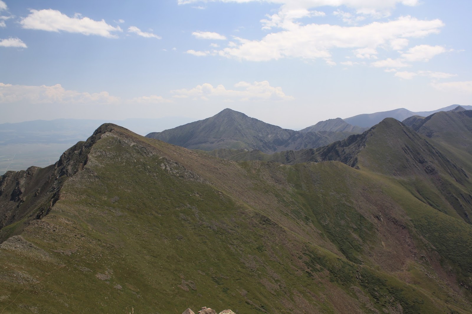
Monday, August 31, 2015

Roundabout

On August 22nd, I did the Comanche – Venable Loop Hike in the Sangre de Cristo Mountains. The trailhead is southwest of Westcliffe and is conveniently called Comanche and Venable Trailhead. I got on the trail 6:07 A.M. and started the steep climb to Comanche Lake. I had been to the lake before. The hike was steeper than I remembered. I kept on going after reaching the lake and made my way to the saddle between Comanche Peak and Spring Mountain. From the saddle, I detoured off the trail and climbed Comanche Peak (13,277 ft.)
Comanche Peak
Horn Peak (left) Comanche Peak (right)
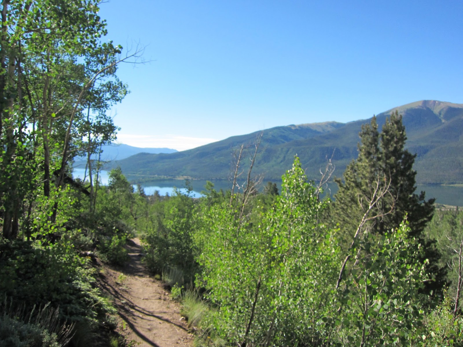
Comanche Lake
Crestone Needle, Mt. Adams, Kit Carson, Challenger Point
Venable Peak (left) Spring Mtn (Right) 
Me on Comanche Peak
After enjoying Comanche Peak, I backtracked to the saddle. From the saddle the trail contours around Spring Mountain (13,244 ft.) to the Phantom Terrace. At this point, I decided to make another side trip. I detoured off the trail again and climbed Venable Peak. (13,334 ft.)
Spring Mountain (left) Horn Peak (center)
Kit Carson & Challenger Point (middle)  Crestone Needle & Crestone Peak are partial blocked by Mt. Adams to the left Kit Carson
Top of Venable Peak.  San Luis Valley in the haze.
After Venable Peak, I climbed back down to the Phantom Terrace. The Phantom Terrace is a ledge that the trail follows down to Venable Lakes. It is supposedly haunted because the ledge is hard to see at a distance. From Phantom Terrace, it was a downhill of about 6 miles to my car. I finished the hike a little after 3 P.M. I estimate my hike to be about 14 miles
Phantom Terrace
Venable Lakes from the Phantom Terrace
Looking back at the Phantom Terrace
Venable Lakes
Cabin in need of repair

Sunday, August 23, 2015

Dead Car Battery Blues

Last weekend I visited a friend in Wyoming. We went camping in the Medicine Bow area. We got a campsite at Silver Lake. After we got set up, we were going to go check out some of the sites, but the car didn’t start. Dead battery. So we just hung out at the campsite for the rest of the afternoon and evening. We survived. We had plenty of beer and food. The next morning, with the help of some other campers, we got the car started by push starting. We made it back to Laramie without issue. I replaced the battery there and went home. Even though the camping trip didn’t quite go as intended, I had a good visit with my friend. While don’t have a lot pictures for this post, I do have a lot pictures for the next post. So stay tuned…
A rainbow after one of the storms that went through while camped at Silver Lake

Sunday, August 09, 2015

Castle

Epilogue. My parents were still in town for a few days after my section hike on the Colorado Trail. On July 27th, we went for a drive in the Wet Mountains after dropping off their rental car. The first stop was Lake Isabel. It was pretty much a recreation area for fishing. We got out and went for a short walk next to the lake.
Lake Isabel
We then went to Bishop Castle . What is Bishop Castle ? It is a homemade castle built by Jim Bishop. You are allowed to explore it on your own. It is pretty amazing. Some of the castle is a bit hairy in regards to heights. It was fun watching the different levels of fear that people had to it. I made it to the top. The view was great.
Inside Bishop Castle
Looking down from the sphere like structure
The tallest tower
Bridge to nowhere
Looking down on the sphere like structure
View down from the top
The Dragon
Stained Glass
Bottom half Bishop Castle
Top half of Bishop Castle
After the castle, we drove to Westcliffe and ate lunch. After that, we headed home. My parent went home a few days later.

Friday, August 07, 2015

It Can Happen

This is the fifth and final post of my section hike on the Colorado Trail. The morning of July 24th consisted of a waking up to a tent fly that was soaked with condensation. It didn’t dry out by the time I was ready to leave camp. So I had to pack it up wet. I was above 11,000 feet most of the morning. The hike was in and out of wetlands. So the mosquitoes were quite thick and annoying. I also a bit low energy.

I got my mojo back after an early lunch at the Timberlake Trailhead. Unfortunately, a couple of miles into the after lunch part of the hike, the rain started. It was not the typical Colorado afternoon thunderstorm either. It was an all afternoon drizzle. It was one of those afternoons where everything is wet so you just might as well keep walking. I hiked with a thru-hiker named Squirrel for several miles. He seemed to be a career hiker. He has hiked the Appalachian Trail & the Pacific Crest Trail. He has plans to hike the Continental Divide Trail next year. The Colorado Trail is one of his short thru-hikes. I got along with well in the short time I hike with him. It also didn’t hurt that he was from Athens, Georgia. He left me in the dust on one of longer up hills of the afternoon. I had planned to camp near the Mt. Massive side trail, but with it raining, I decided to just keep on hiking rather than sit around a wet camp. I ended up camping on side of Mt. Elbert not too far from the trail (north access) that goes up it. I ended up doing 21.5 miles that day. I found a tree that was dry underneath. I camped next to it. It worked out well. The rain stopped sometime that evening.
View near Porcupine Lakes
A quick selfie.  Setting up a tripod takes to long with the mosquitoes out
The Trail
The trail
Another view
Mt. Massive
The next morning my tent fly was actually dryer than it was the previous morning. With this being my last day on the trail, I got to where dry clothes to start the day since I didn’t have to worry about saving them to sleep in. Wouldn’t you know it; I had to walk through an overgrown portion of the trail first thing. I got wet from walking through it. The day was beautiful though, so I dried out quick. The day went quick as the hiking was easy. It was mostly level or downhill. I finished up at Twin Lakes Dam. It was about a 10 mile day. For the week, I hiked a total of 84.5 miles. I have now hiked 90.4 miles of the 484.6 mile Colorado Trail. I still have a ways to go…
Coming down to Twin Lakes
Mt. Elbert
Me getting close to the finish
Twin Lakes

Thursday, August 06, 2015

Onward

Part 4 of the section hike on the Colorado Trail. I put the backpack on once again. I started at Camp Hale Trailhead. I skipped a section from Mt. Copper Ski resort to Camp Hale. It was an 18.5 mile section. I’ll make it up someday. Hopefully that will happen in the near future. Anyway, I felt good as I made my way towards Tennessee Pass. This section had some beautiful meadows. A few tenths of a mile from Tennessee Pass, the trails passes the remains of a couple of coke ovens.
Ruins at Camp Hale
Looking back at the ruins at Camp Hale
Looking back at Camp Hale
Railroad tracks
Trail
Coke oven ruins near Tennessee Pass
After Tennessee Pass, I found myself tiring. I stopped early in the afternoon. After 13.7 miles, I decided I had enough for the day. I found a beautiful campsite. There one problem with it. It had lots of mosquitoes. Oh well, you can’t have everything.
Campsite in the Holy Cross Wilderness

Monday, August 03, 2015

New State Of Mind

For Part 3 of my section hike on the Colorado Trail, there was a change in the plan. I took the day off and skipped a section. I had originally planned to backpack from Copper Mountain to Tennessee Pass in about one and half days, but my body was telling me I wasn’t going to be able to do that. Having observed how early the storms formed the day before, I was worried that I might not be able to make it across the above treeline part of that section before the storms hit. I couldn’t add an extra day to hike it because that would not coincide with my parents plans. I thought about another slack pack day, but it would have been an 18.5 mile slack pack. I didn’t feel up for it. So I took the day off and navigated for my parents on a drive in the Leadville area. Our first stop was Camp Hale. I wanted to check out the trailhead as well as see the historic site. The 10th Mountain Division trained at Camp Hale during World War II.
Camp Hale
Camp Hale
After lunch in Leadville, we drove around Lake Turquoise where we had nice views of Mt. Elbert, Mt. Massive, and Mt Sherman.
Mt. Sherman & Lake Turquoise
Pops & Mt. Elbert
Mum

Sunday, August 02, 2015

Looking Around

This is part 2 of my section hike on the Colorado Trail. I did a slack pack on Tuesday, July 21st. I hiked the trail in reverse. I started at Copper Mountain Ski Resort and hiked back to Colorado Highway 9 by crossing the Tenmile Range. Doing it this way enabled me to do to the above treeline segment early in the morning before the usual daily storms. This turned out to be an excellent decision.

I got on the trail at about 6:30 AM. It was a long and steep up to start the day. There were lots of clouds hanging around. Right about treeline, I enter the clouds. It was a misty cold and wet hike for a short while. About a quarter of a mile from the top of the ridge, the clouds broke and I was able to look around at some wonderful views.
Wet Wildflowers
Copper Mountain Ski Resort
View to the south as the clouds break
View of Copper Mountain from the top of the ridge
Breckenridge and the top of a ski lift
Me
Me again
Destination somewhere below
Wildflowers
The Trail
Can you find the pika on the rock?
Pika
Looking back
On the way down, I past multiple hikers doing the entire Colorado Trail. One of the hikers was a 69 year old woman doing the trail by herself. She was quite impressive. Shortly after 11 AM, I noticed a storm brewing on the ridge that I had crossed earlier in the morning. I’m sure a few hikers got caught by it. The storm reached me by noon. Fortunately, I was not in an exposed place. I finished my hike at Gold Hill Trailhead at about 1:15 PM. The hike was about 13 miles.

-MM