Thursday, July 30, 2015

The Calling

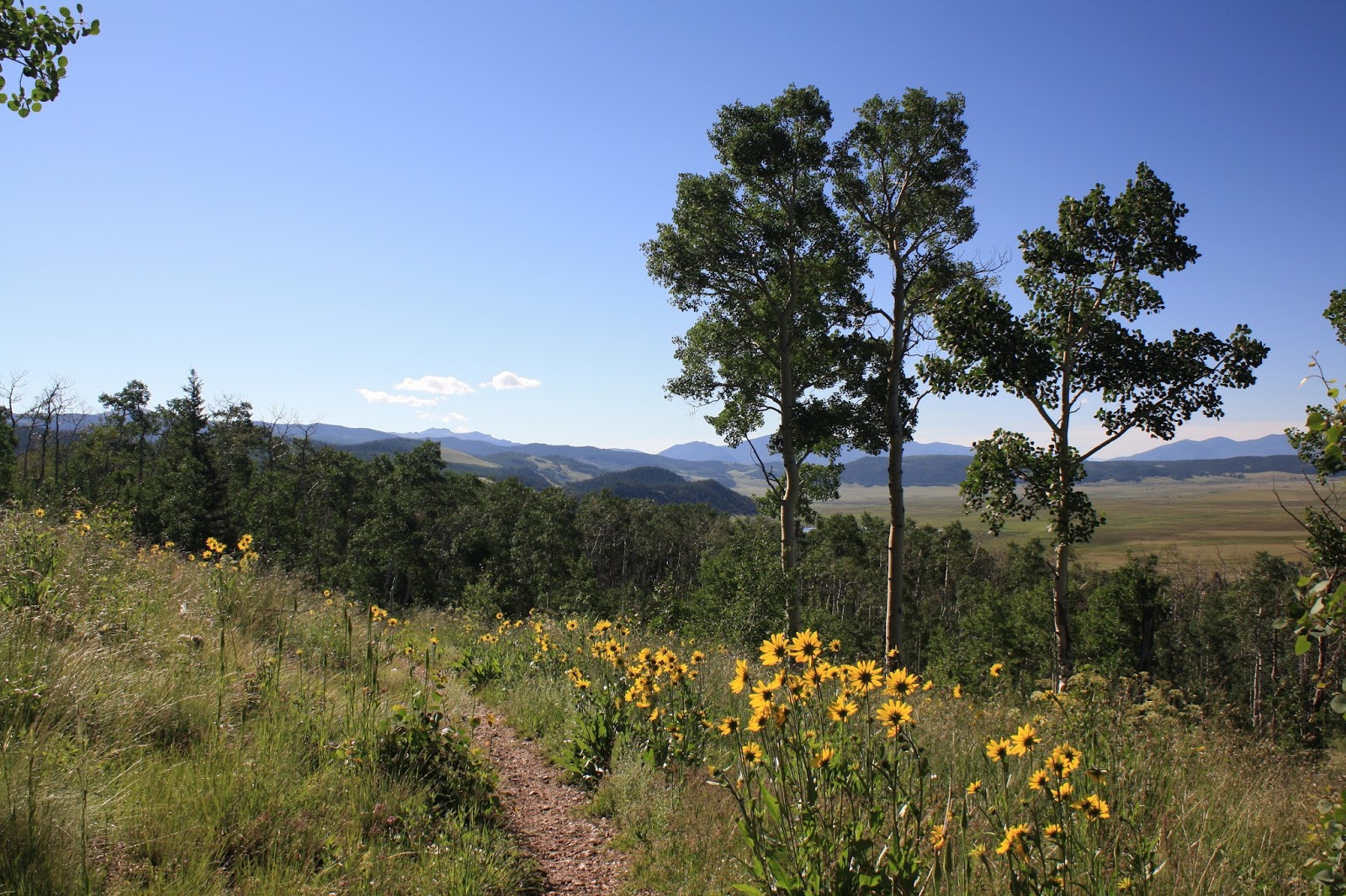
On July 19th, I started a multi-day hiking trip on the Colorado Trail. This post is about the first two days of the trip. My parents dropped me off at Jefferson Lake Road which is about 6 miles from Kenosha Pass. I did a hike towards Kenosha Pass from this trailhead the previous weekend. This time I was out for a night and going in the opposite direction. The day started with a steady climb of 6 miles to Georgia Pass (11,874 feet). It was cloudy day. After Georgia Pass, I dropped down to the North Fork Swan River (9,981 feet). I then had a steep climb up to a ridge that was above 11,000 feet. I camped up on this ridge.
Hiking towards Georgia Pass
Looking Back at South Park
Georgia Pass
Colorado Trail & Continental Divide Trail Markers
Middle Fork Swan River
The next day I hiked down to Colorado Highway 9 to a spot about halfway between Breckenridge and Frisco. The trail went through beetle infested forests where a lot of the trees had been cut down. I met my parents at the Gold Hill Trailhead on Highway 9. I hung out with them the rest of the day. Jefferson Lake Road to Gold Hill Trailhead is about 27 miles.
Looking Towards Breckenridge
Wildflowers & Mountains
Cleared beetle infested forest
Looking down on the Gold Hill Trail on Highway 9

Saturday, July 18, 2015

Vagabond

On July 11th, I went for a hike along the Colorado Trail near Kenosha Pass. I started at Jefferson Lake Road and walked about 3 miles towards Kenosha Pass to a spot that I had gotten to when hiking from Kenosha Pass. It is an easy hike with lots of wildflowers and great views of South Park.
Columbine
Columbine
Wildflowers, Colorado Trail, & South Park
Wildflowers & Colorado Trail
South Park
Looking towards Georgia Pass
South Park
Colorado Trail
After the hike, I went to Denver for a Rapids game. The Rapids won. During my travels, I picked up a couple of vagabonds. They have been staying with me all week.
Pops
The Gamer

Monday, July 06, 2015

The Sentinel

The Fourth of July weekend was a three star weekend. On Friday, I went for a hike. On Saturday, I went to the Rapids game and actually saw them win. And then on Sunday, I went to my local pub and watched the US Women get their third star by winning the World Cup for the third time in their history.

As for the hike on Friday, I climbed Sentinel Point (12,527 ft.) Sentinel Point is a sub-peak of Pikes Peak. It is the last peak above treeline on the west side of the mountain. I started at the Horse Thief Trailhead off of Highway 67 between Divide and Cripple Creek. I have used this trailhead before on my Pancake Rocks hikes. The trail is easy at start, but after Horsethief Park it starts getting steep. I hiked further up the drainage north of Sentinel Point to treeline then what some of the descriptions of the route that I had seen describe. It allowed me to avoid a boulder field. Plus I saw a waterfall that I had not seen in the route descriptions. Once I climbed out of the drainage, I headed a short ways west to Sentinel Point. The final climb of Sentinel Point is a Class 3 scramble. I had to probe for a route that I was comfortable doing. The reward of the hike was great despite it being a bit on the hazy side for Colorado. Here are the pictures.
Looking east at the drainage that I climbed out of.  The waterfall starts at the snow.
Looking west at Sentinel Point
Horsethief Park from Sentinel Point
Looking south towards the mines near Cripple Creek
East view of Pikes Peak
View of The Crags
Zoom view Pikes Peak
Sentinel Point and wildflowers
The waterfall
One of Carter's friends on the rock
Sentinel Point from Horsethief Park.  Further than it looks.  The route goes to the left and around to the other side.
Horsethief Park

Sunday, June 28, 2015

Schindleria Praematurus

I hiked to Hartenstein Lake today. The lake is west of Buena Vista. Denny Creek is the trailhead for it. It is a popular trailhead because it is also the trailhead for Mt. Yale. The lake is at an elevation of 11,451 feet. So it is just below treeline. It is still quite scenic and is a beautiful hike.
Looking south towards Gladstone Ridge
Creek feeding Hartenstein Lake
Beaver dam and lodge, Hartenstein Lake, & Mt. Yale
Hartenstein Lake
The trail to Hartenstein Lake
Mt. Yale & Mascot Peak
Wildflowers
Wildflowers
As for title of this post, it is a nod to my favorite bass player of all time, Chris Squire of Yes, who passed away over the weekend.

Sunday, June 21, 2015

The River

With it being Father's Day, I figured this would be a good day to have a new post. The Arkansas River is as high as I have seen it. So I took some pictures of it. The pictures are from last weekend, but the river conditions haven't changed much from last weekend. If anything, it is higher. Enjoy the pictures and Happy Father's Day!
Intermittent waterfall
Raft take-out is on the other side of the bridge.