On August 22nd, I did the Comanche – Venable Loop Hike in the Sangre de Cristo Mountains. The trailhead is southwest of Westcliffe and is conveniently called Comanche and Venable Trailhead. I got on the trail 6:07 A.M. and started the steep climb to Comanche Lake. I had been to the lake before. The hike was steeper than I remembered. I kept on going after reaching the lake and made my way to the saddle between Comanche Peak and Spring Mountain. From the saddle, I detoured off the trail and climbed Comanche Peak (13,277 ft.)
 |
| Comanche Peak |
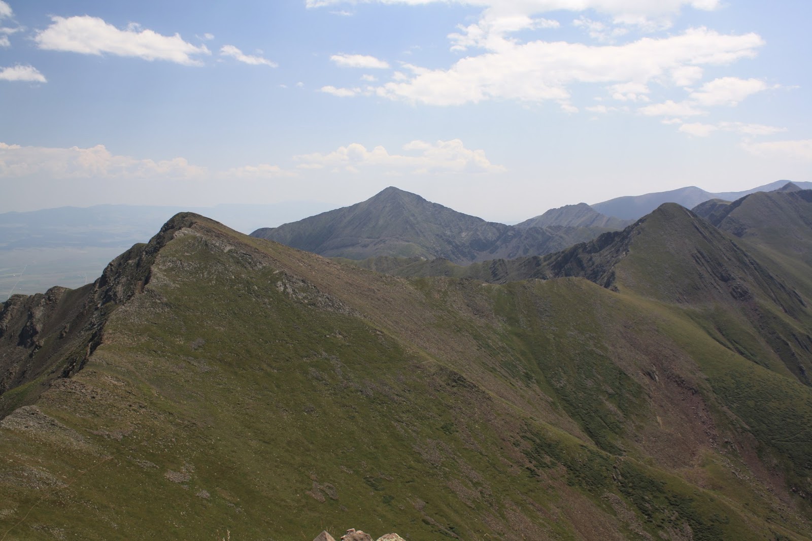
 |
| Horn Peak (left) Comanche Peak (right) |
 |
| Comanche Lake |
 |
| Crestone Needle, Mt. Adams, Kit Carson, Challenger Point |
 |
| Venable Peak (left) Spring Mtn (Right) |
 |
| Me on Comanche Peak |
After enjoying Comanche Peak, I backtracked to the saddle. From the saddle the trail contours around Spring Mountain (13,244 ft.) to the Phantom Terrace. At this point, I decided to make another side trip. I detoured off the trail again and climbed Venable Peak. (13,334 ft.)
 |
| Spring Mountain (left) Horn Peak (center) |
 |
| Kit Carson & Challenger Point (middle) Crestone Needle & Crestone Peak are partial blocked by Mt. Adams to the left Kit Carson |
 |
| Top of Venable Peak. San Luis Valley in the haze. |
After Venable Peak, I climbed back down to the Phantom Terrace. The Phantom Terrace is a ledge that the trail follows down to Venable Lakes. It is supposedly haunted because the ledge is hard to see at a distance. From Phantom Terrace, it was a downhill of about 6 miles to my car. I finished the hike a little after 3 P.M. I estimate my hike to be about 14 miles
 |
| Phantom Terrace |
 |
| Venable Lakes from the Phantom Terrace |
 |
| Looking back at the Phantom Terrace |
 |
| Venable Lakes |
 |
| Cabin in need of repair |


1 comment:
Quite a hike. 14 miles, two 13'ers, mostly up & down, a haunted section, & above tree a lot of the way. Bet you slept good that night.
Post a Comment