This post is for the second day of a four day backpack trip on the Colorado Trail from Molas Pass to Durango. The following takes place on July 31, 2017. The rain had stopped by the time I made camp the previous day. So thankfully my tent was dry this morning. Colorado had a wet July. The rain has been more than the usual afternoon showers. The trails were suffering with the extra rain and were extremely muddy. So the trail could be slow going in the muddy places. It was sunny this morning. About a mile into the hike, I crossed a saddle with excellent views of the San Miguel Mountains which is a sub range of the San Juan Mountains. The San Miguel Mountains contains three 14ers: Mt. Wilson, El Diente, and Wilson Peak. It also contains Lizard Head Peak which is considered one of the toughest mountains to climb due to what I call rotten rock. I hiked to the base of it in 2002, but I will never try to climb that one. I don’t do the technical ones, and that one is too dangerous for most of the technical climbers.
 |
| Morning view along the trail |
 |
| After crossing a saddle, I had wonderful view of the San Miguel Mountains and a muddy trail |
 |
| San Miguel Mountains. Lizard Head is the point on the far right. |
 |
| Another view of the San Miguel Mountains |
I enjoyed the view of the San Miquel Mountains, but the trail would not take me over there. I was heading south towards Blackhawk Pass (11,985 Ft.) which would be my high point of the day. The climb to the pass was not bad because I started the day above 11,000 feet and never went below 11,000 feet in the 9.5 miles it took to reach the pass that morning. From Blackhawk Pass, I could see rain in the direction I was heading.
 |
| Hermosa Peak - the trail would go to the right of it. There are also deer in this picture. |
 |
| The deer keeping an eye on me. Lizard Head in the background |
 |
| The La Plata Mountains - I didn't know it at time, but I was hiking towards those mountains. |
 |
| Closer to Hermosa Peak |
 |
| San Miguel Mountains |
 |
| Wildflowers on the side of Hermosa Peak |
 |
| Columbine |
 |
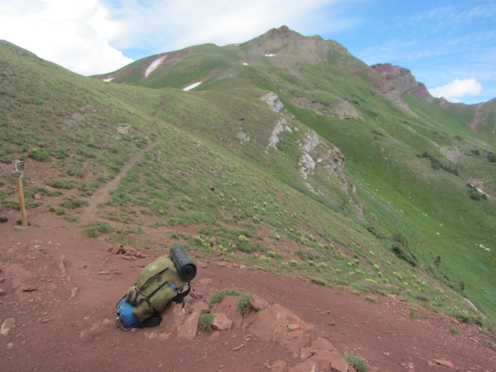
| The trail to Blackhawk Pass |
 |
| Blackhawk Pass |
 |
| Last view of the San Miguel Mountains for the day |
 |
| Blackhawk Mountain |
 |
| Rain in the direction I'm heading |
On the way down from Blackhawk Pass, I got water from Straight Creek. The data said it was the last reliable on-trail water for 22 miles. So I went full water the rest of the day and did a dry camp that night. The trail that afternoon followed a ridge that was in 10,000 foot range. The hiking was easy except for the muddy spots. It rained on me that afternoon, but it was just a drizzle of a rain so I didn’t get too wet. It was mainly wet boots and socks. I passed up lots of great camp spots because I wanted to make some miles to put me in a better position for the climb I had the next day. I hit a muddy stretch without places to camp late in the day. Fortunately, I found a spot to camp sometime after 6 P.M. The Sun even came out briefly before it set. I tried to dry my socks out, but there was not enough time. I’m guessing I did about 22 miles on this day.
 |
| Looking back at Blackhawk Pass |
 |
| The trail down |
 |
| Looking back on the ridge I've been hiking after the rain |
To be continued…


2 comments:
I was wrong before. Think I like these pic's best. Keep on hiking Mighty Mike!
I loved them, too. I know I usually pick the photos of flowers as my favorites, but I think I liked the one of the deer watching you with the Lizard Head in the background. MOM
Post a Comment